
Morundae Peninsula is a free seaside walking trail in Saha-gu, open all year round.
It is a small forested headland next to Dadaepo Beach, an 8-minute walk from Exit 2 of Dadaepo Beach Station on Busan Metro Line 1.
This post gives the metro and bus routes, the seasonal opening hours, admission, what the trail course looks like, and how to fit it into a day in Busan.
Key facts — As of 2026-10-01
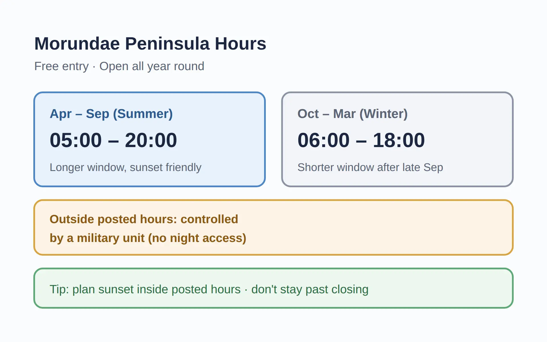
- Per Saha-gu, hours are Apr-Sep 05:00-20:00 and Oct-Mar 06:00-18:00, with the area controlled by a military unit outside those hours.
- Designated Busan Monument No. 27 on 1972-06-26, Morundae was re-designated Busan Metropolitan City natural heritage on 2024-09-11; Saha-gu lists its area as 506,000 m².
Morundae Peninsula Busan: How to Get There
| Admission | Free |
|---|---|
| Address | San 144, Dadae-dong, Saha-gu, Busan |
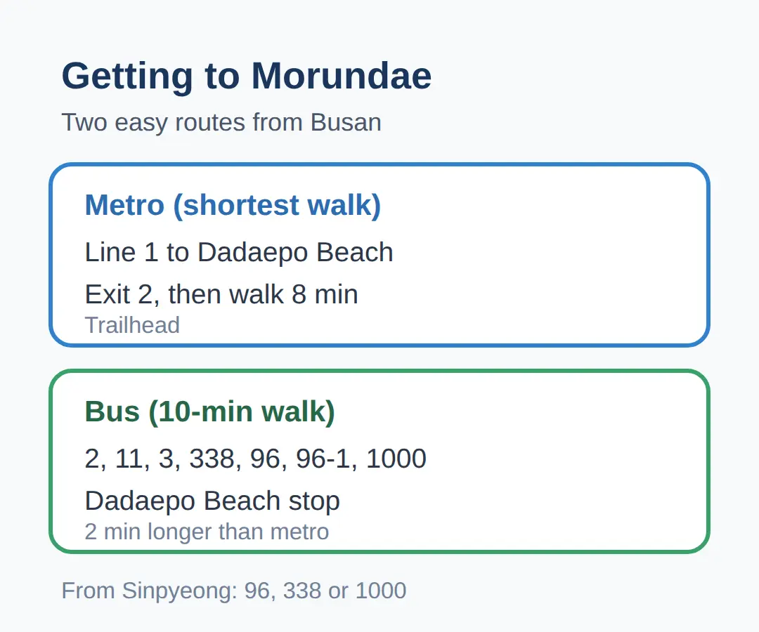
| Getting there by metro | Dadaepo Beach Station (Line 1), Exit 2, then an 8-minute walk |
| Getting there by bus | Buses 2, 11, 3, 338, 96, 96-1, or 1000 to Dadaepo Beach stop, then about 10 minutes on foot |
| Hours (Apr–Sep) | 05:00–20:00 |
| Hours (Oct–Mar) | 06:00–18:00 |
| Parking | Dadaepo Beach Parking Lot (charged) |
Take Metro Line 1 to Dadaepo Beach Station, leave by Exit 2, and the trailhead is an 8-minute walk away.
The city guide lists this as the metro route, and it is the shortest walk of the two public transport options.
Buses 2, 11, 3, 338, 96, 96-1, and 1000 stop at Dadaepo Beach, and from there it is about a 10-minute walk.
If you prefer the bus or are already near a bus stop, this route works just as well, but the walk is 2 minutes longer than from the metro station.
When I plan a trip like this, the first thing I check is how you actually get there from outside Korea and what the hours are by season — not the brochure description.
If you are coming from Sinpyeong Station instead, buses 96, 338, or 1000 also work: get off at Daewoo APT and walk about 600 m toward Morundae.
Getting there — Morundae Peninsula
- Seoul → Busan by train: fastest 2h 18m, from ₩46,700, 109 trains a day, first 05:13 · last 22:40 · timetable
- Seoul → Busan by express bus: fastest 4h 00m, from ₩29,100, 35 buses a day, first 06:00 · last 24:00 · timetable
- Last leg: about 13.9 km from Busan Station — roughly 17 min by taxi or car without traffic; local buses also run (check the stop sign or a map app)
- Map: Naver Map · Kakao Map · Google Maps
Calculated by koreankorea.com from the national train and express-bus timetables, OpenStreetMap road distance. Plan your own route
What Time Is Morundae Peninsula Open — and Is It Free?
| Item | Detail |
|---|---|
| Admission fee | Free |
| Opening days | Open all year round |
| Hours (Apr–Sep) | 05:00–20:00 |
| Hours (Oct–Mar) | 06:00–18:00 |
| Night access | Controlled by a military unit outside opening hours |
The seasonal hours differ, and going by the hours of the month you visit is safer than assuming one fixed schedule.
Per Saha-gu, hours are Apr–Sep 05:00–20:00 and Oct–Mar 06:00–18:00, with the area controlled by a military unit outside those hours.
visitbusan.net lists the site as “open all year round,” but Saha-gu lists the seasonal hours and the night control, so the seasonal table is the practical one to follow.
If you are visiting after late September, expect the shorter winter window of 06:00–18:00 instead of 05:00–20:00.
Do not count on staying past closing, because the sunset viewing needs to fit inside the posted hours.
What You Actually See on the Trail
The common course starts at point ① on the trail map and loops clockwise back to the start.
You walk a forest path up to Hwasondae Rock, a flat rock in front of the sea, and the views from there are the reason people come.
From Hwasondae Rock you can see Mojaseom Island, which is shaped like a baseball cap, and Jwijseom Island, which resembles a mouse.
Sea cliffs and sea caves line the southern end of the peninsula.
The trail is described as short but steep enough to get you out of breath on the slope.
The loop’s exact length in minutes is not stated on the pages checked.
If you are short on time, the trail itself is compact, so a visit works even as a short stop before or after the beach.
Why It Matters: Names, Designations and History
Morundae means “a land indulged in clouds” — on foggy days the land disappears from view, as if buried in clouds.
It used to be a separate island called Morundo until the 16th century, when sediment from the Nakdonggang River connected it to Dadaepo.
Designated Busan Monument No.
27 on 1972-06-26, Morundae was re-designated Busan Metropolitan City natural heritage on 2024-09-11; Saha-gu lists its area as 506,000 m².
It is also one of Busan’s three great ‘Dae’ scenic overlooks, together with Taejongdae and Haeundae.
During the 1592 Japanese invasion, General Jeong Un, the vanguard of Admiral Yi Sun-sin, fought about 500 enemy ships off this coast and died here — a shrine and monument stand in his memory.
A stone stele with a poem praising Morundae, written by Dongnae magistrate Yi Chun-won and recorded in the Dongnaebuji (1740), was erected 1999-06-12.
The area figure differs by source (506,000 m² per Saha-gu, 492,300 m² per the Monument No.
27 record), so go with the Saha-gu figure, which comes from the district office that manages the site.
Fitting It Into a Busan Day
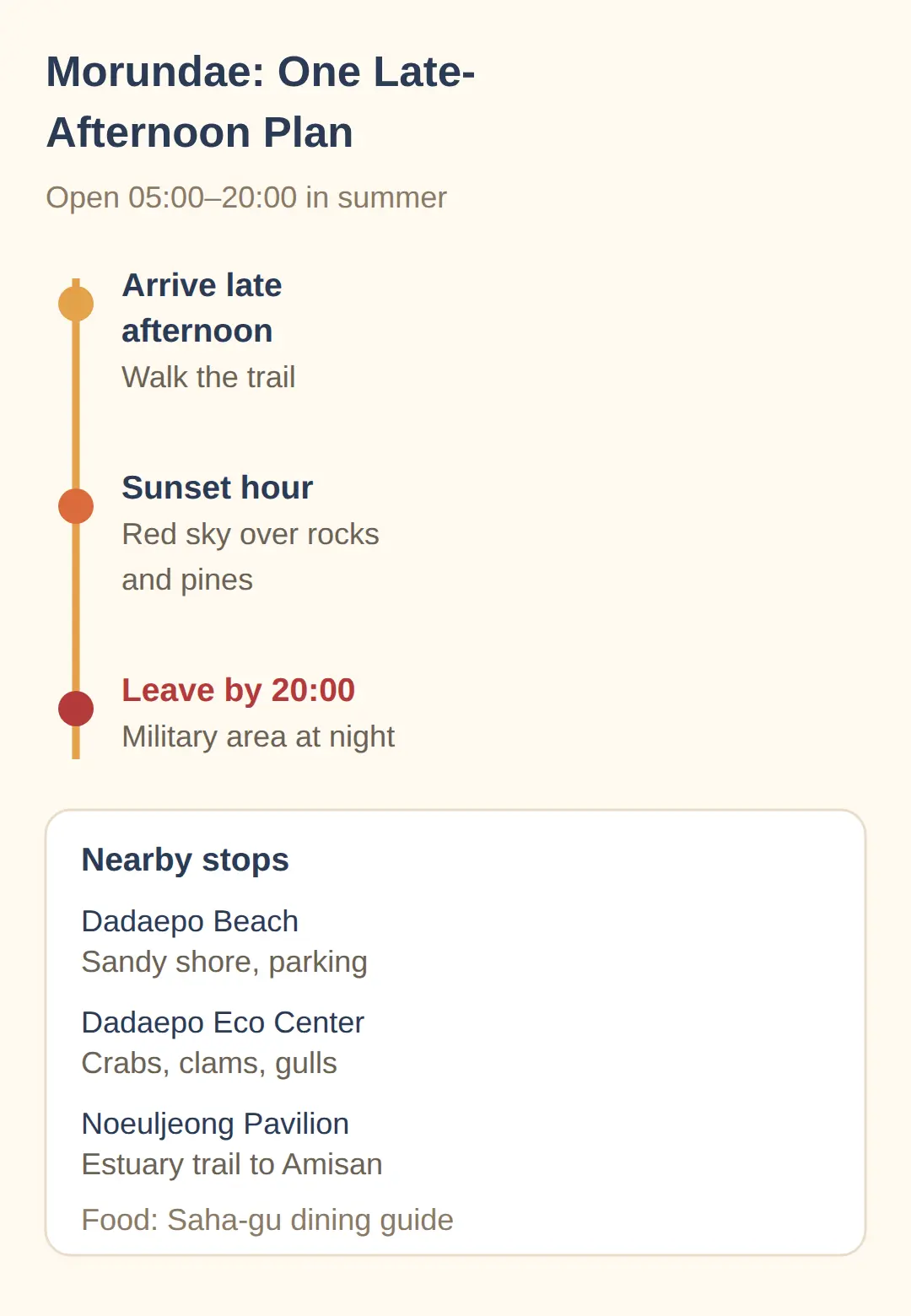
Morundae pairs naturally with Dadaepo Beach, which has a wide sandy beach with gentle water, shower rooms, and parking next door.
That makes it a family-friendly stop before or after the trail.
The nearby Dadaepo Eco Experience Center lets you see clams and sand-bubbler crabs, plus migratory birds such as black-tailed gulls and small egrets.
For a longer outing, the Noeuljeong Pavilion at the trailhead connects to a trail along the Nakdonggang Estuary to Amisan Observatory.
For food, the Saha-gu dining page in the city’s guide lists places to eat nearby.
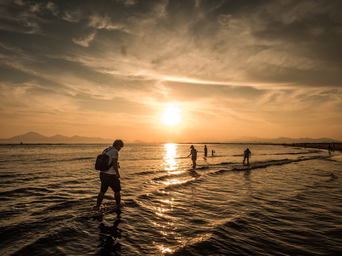
I would go late afternoon inside the posted hours and catch the red sunset over the rocks and pines, because that is the scene this place is known for — but I would leave before the gate closes, since a military unit controls the area at night.
👉 where to eat in Busan Saha-gu
👉 Dongbaek coastal trail in Busan
👉 Busan Metropolitan City English guide
Related posts
📎 📅 Upcoming Dates — Release & Event Calendar
Sources
- Hours, free entry, reclassification 2024-09-11, area 506,000 (saha.go.kr)
- Monument No. 27 (1972-06-26), Dadaepo Beach Station Line 1, (ko.wikipedia.org)
A Simple Plan for Your Visit
- Check the seasonal hours for your visit month: Apr–Sep 05:00–20:00, Oct–Mar 06:00–18:00.
- Budget a short visit — the trail loop is compact, so it fits before or after Dadaepo Beach.
- Leave before closing, since the area is controlled by a military unit at night.
- Time your visit to the posted hours if you want the famous sunset scene.
- Check the Saha-gu dining guide for places to eat nearby.
FAQ
Q. How do I get to Morundae Peninsula in Busan?
Take Busan Metro Line 1 to Dadaepo Beach Station, Exit 2, and walk 8 minutes. Buses 2, 11, 3, 338, 96, 96-1, or 1000 also stop at Dadaepo Beach, a 10-minute walk away.
Q. What time is Morundae Peninsula open?
Per Saha-gu, hours are Apr–Sep 05:00–20:00 and Oct–Mar 06:00–18:00, with the area controlled by a military unit outside those hours.
Q. Is Morundae Peninsula free to visit?
Yes. Admission is free, and it is open all year round.
Q. Can I visit Morundae Peninsula at night?
Do not count on it. The area is controlled by a military unit outside the posted hours, so plan your visit inside Apr–Sep 05:00–20:00 or Oct–Mar 06:00–18:00.
Q. How long does the Morundae Trail take to walk?
The standard course is a short clockwise loop from point ① past Hwasondae Rock. A walking time in minutes is not stated on the pages checked, but the 10-minute walk from the Dadaepo Beach bus stop is confirmed.
For the next stop after the trail, see the Saha-gu dining guide for places to eat nearby.
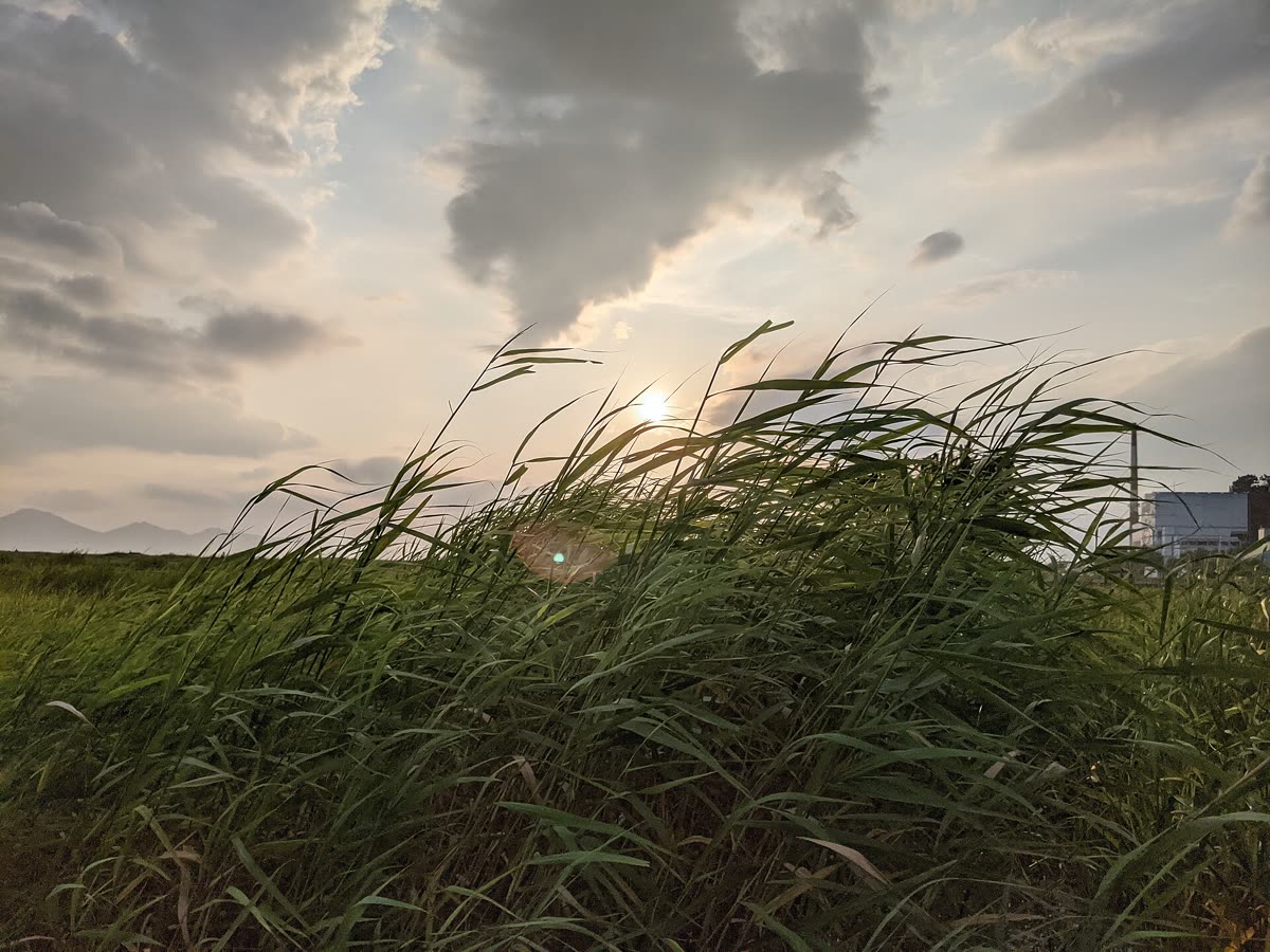
Cover photo: 500px photo (22831155) by Churhan Gu — CC BY 3.0
#MorundaePeninsula #Busan #Saha-gu #Dadaepo #walkingtrail #BusanMetro #sunsetspot
📅Upcoming Schedule — this week 2 · D-2 Hangul DaySee all →